Getty Images
For generations, if citizens wanted to know where their taxes went, they would have to head down to City Hall and wade through mountains of paper and bureaucracy to see what the municipal government was doing with the people’s money.
Not anymore. While there are still plenty of areas for improvement in city government, the City of Dallas has created an interactive project map for the 2017 Dallas Bond that is easy to use and clear.
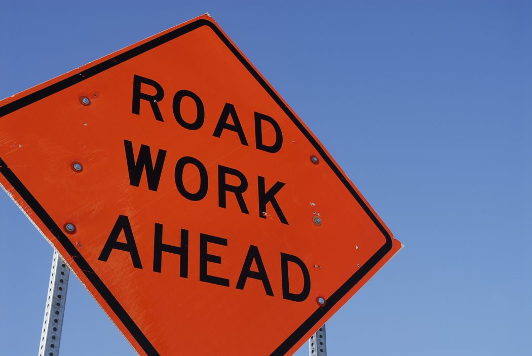
Neighbors can find their street and set the radius to see what the bond is going to pay for in their area. Clicking around East Dallas with a .75-mile radius, it was rare to find less than 10 projects in any area. Often there were more than 20 ongoing, future or past bond projects. Most of them involve repaving streets, but there are also Complete Street projects adding bike lanes, shade areas being installed into playgrounds, new facilities at neighborhood pools, fire station remodels, and much more.
The projects are given a number in the radius, color coded by type (streets, parks, library, public safety, etc), and neighbors can click “more info” to check the status of the project and often see the estimated completion date.
Now don’t get too upset if the construction project that is making your commute miserable isn’t listed; routine street repair is part of the regular city budget and not part of the bond package, so those projects wouldn’t be listed.