Getty Images
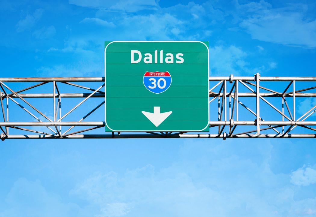
After presenting the progressive CityMap plan to City Hall in 2016 that would have sunk I-30 between East Dallas and Fair Park, Texas Department of Transportation’s newest proposal for I-30 enlarges the highway, rankling many in Dallas.
In the early 1960s, U.S. Highway 67 became Interstate 30, when the Texas Turnpike Authority funded construction of a highway to link Dallas and Fort Worth to East Texas and Little Rock, Arkansas. While I-30 stimulated new growth in areas like Grand Prairie and Arlington, the neighborhoods that predated the large, risen highway in East and South Dallas saw their values plummet. The towering highway full of polluting and fast-moving traffic could not have helped.
Much like the construction I-45 through South Dallas, I-30 divided working class neighborhoods in Mount Auburn and Fair Park and created a physical and psychological barrier that divides our city in almost every measurable category.
TxDOT’s CityMap plan offered an option for the I-30 East corridor that runs along the edge of our neighborhood. It included four or five lanes in each direction, with a two-lane reversible express lane system, rather than the one-lane reversible system that exists now.
It also provided for a below-grade highway between I-45 and Dolphin Road, rather than the towering highway the looks down on neighborhoods on either side of the highway today. The report said the proposal “reconnects Fair Park to Deep Ellum and East Dallas neighborhoods, providing an opportunity to reinvigorate the historic cultural center of Dallas.”
The plan also mentioned a deck park near Fair Park and “includes careful and complementary development that improves livability along Samuell Grand Park.”
TxDOT sent Dallas city staff its newest plan for I-30 last week, and Peter Simek at D Magazine called it a “monstrous, development-killing behemoth” because it added more lanes, frontage roads, widened overpasses and exit ramps beyond what the CityMap study recommended.
“For them to then give us one of the most retrograde TxDOT proposals I have seen is disheartening,” said City Councilman Philip Kingston, who preferred the CityMap plan that sunk the highway through East Dallas. Kingston says that Governor Greg Abbott has influence over TxDOT. He says the governor is hostile to those who live in the city because Abbott is elected by suburban and rural citizens. “They want to get in and out of cities as fast as possible regardless of how bad it is for the people that live there,” Kingston says of Abbott’s voters.
The new plan does have a below grade section of the highway near Exposition Park, but the highway would resurface around Munger Boulevard, which doesn’t line up with TxDOT’s own plan to “improve livability along Samuell Grand Park.”
Simek says the expansion will also require more seizure of property along the existing highway through eminent domain. He doubled down this week, using TxDOT’s existing traffic numbers to demonstrate that the highway does not need expansion, and he questioned the legitimacy of TxDOT’s traffic projections.
Kingston thinks connecting East and South Dallas will be a boon for investment and revitalization in the neighborhoods that experienced a downturn after the highway was constructed. “You have to be able to drive, walk or bike some place to have it cross your consciousness,” he says. “In order to get over our attitude that the place is undesirable or dangerous, we have to connect it back to the neighborhoods it used to be connected to.”